Home from NORTHEAST!
May 17-19 2023
PART 2

"If you believed...They put a man on the mountain..." (Another WRFN flashback!) The NH 115 sign shows that New Hampshire uses the now-defunct Old Man of the Mountain as its state route shield.

Southwest on NH 115!

Mountain scenery along NH 115.

NH 115 again.

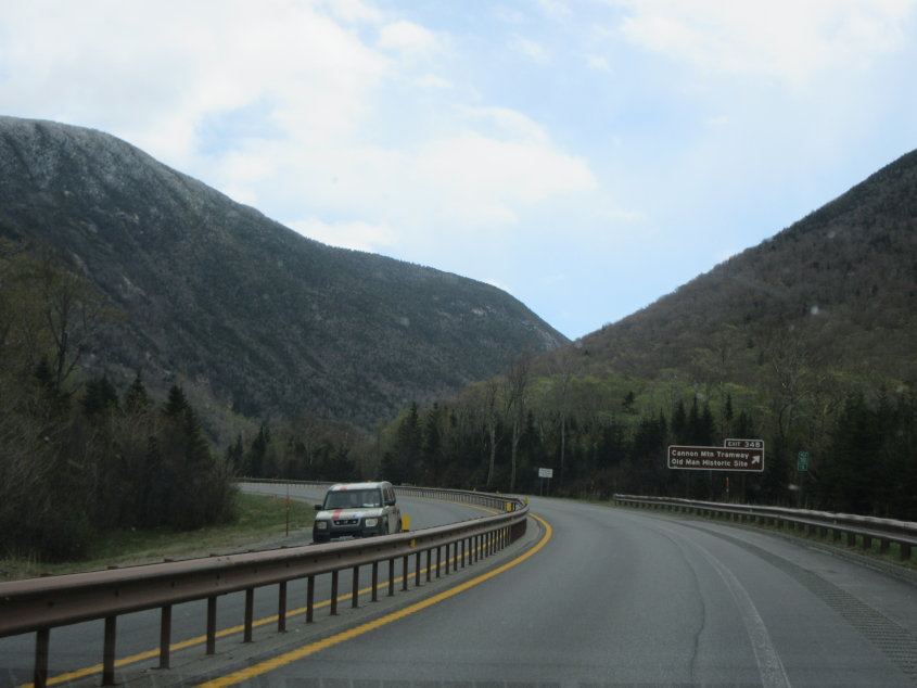
Probably still NH 115.

Southwest on US 3.

US 3 ramps onto I-93, visible at left. I-93 is labeled here as Styles Bridges Highway. Not Harry Styles, but Styles Bridges.

This kicks off an unusual stretch of I-93, so listen close!

Echo Lake from I-93.
What's weird is that I-93 here has only one lane on each side and thus is not up to Interstate standards. This is the famous Franconia Notch stretch. This stretch opened in 1988 and overlays old US 3.

I think this is looking northeast from the pull-off for the Old Man of the Mountain remnants.

I think that little walkway goes over the Pemigewasset River. This is at the Old Man of the Mountain plaza.

The mountain here is where the Old Man of the Mountain was. He faced to the left in a profile pose. It was cold, windy, and icy when I went here. I almost couldn't walk this far from the parking lot.

You were supposed to be able to stand behind these posts so you could line up with where the Old Man was. The formation was 40 feet tall and 25 feet wide. The Old Man collapsed in 2003. The exact time he collapsed is not known, but a group of hikers did hear a loud roar that morning.

There was serious talk of soliciting a corporate sponsor to rebuild the Old Man. But he was dead. And we had to lay him to rest. But corporatism did rear its head as McDonald's and CNL were allowed to blast their logos onto this bench.

Tramway Drive at I-93.

Back on the narrow stretch of I-93.

I-93 and Profile Lake.

This might be the front of the mountain with the Old Man.

The speed limit is only 45 MPH on the 2-lane part of I-93.

NH 112 going east over the Pemigewasset River. This is when we drove all over town looking for gas.

I'm guessing this is NH 118.

This could be NH 25A with Lower Baker Pond. We looked for miles for a picnic area. Picnic areas marked on the atlas did not exist.

The Samuel Morey Memorial Bridge carries NH 25A across the Connecticut River from Orford, N.H., to Fairlee, Vt. It was built in the 1930s. I think it was Orford where we finally found a picnic spot. Also, this is one of few public school districts that crosses state lines.