To WESTERN U.S.!
Sep. 7-10 2022
PART 8

We left off on I-90 in Spokane, Wash., and this is looking north into downtown.

I-90 also has US 2/395 here in Spokane. Up ahead, we go under a rail bridge. Behind that, a rail span over Latah Creek parallels I-90.

I-90 crosses Latah Creek with the rail bridge at right.
The rail bridge soars high, but we also see the bridge for Sunset Boulevard, which has Biz I-90.

I-90 near Cheney, Wash. - like Dick Cheney. Back at Pompeys Pillar, I saw a Dick Cheney look-alike dump what appeared to be urine in the parking lot.

I-90 approaching Sprague.

That has to be Sprague Lake up ahead.

I'm not sure what this Allowed Cloud is for. Sprague Lake is on the left.

Washington state's COVID dictatorship was a failure, but I'm happy to say that at least they allow our favorite herb! This is I-90 at exit 231.

US 395 spins off its own freeway running to the southwest.

US 395 again.

US 395 is a divided highway through much of Washington - some freeway, some not.
US 395 near Mesa. The road at right was once WA 17. US 395 did not exist in this area back then.

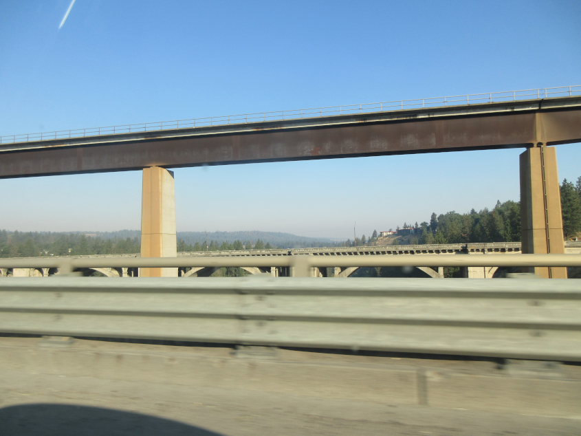
US 12 uses the Vaughn Hubbard Bridge to cross the Snake River in Pasco. It opened in 1952. Maps from the 1960s mark this as just a single span carrying US 395/410. US 410 has not existed anywhere since 1967, largely becoming US 12.

Looking down the Snake River at a rail bridge. Behind that bridge, the Snake River flows into the Columbia River.

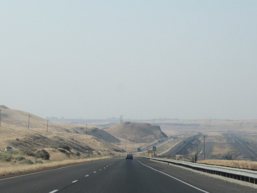
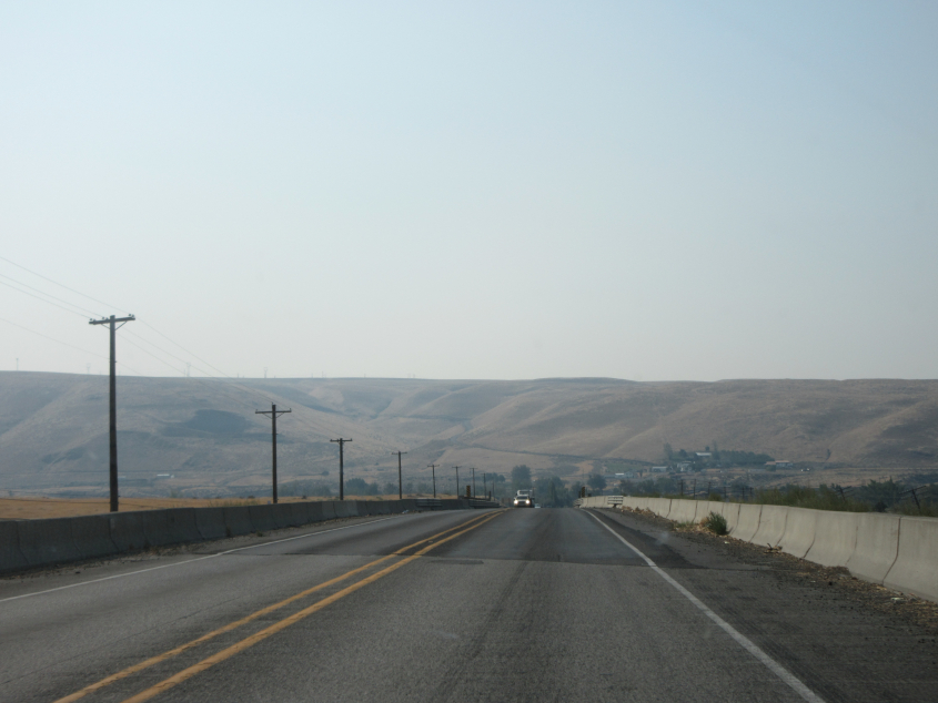
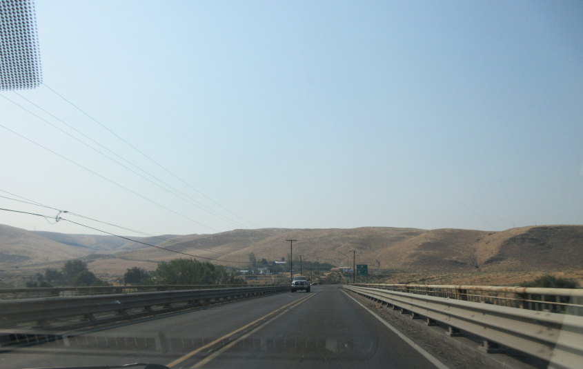
US 12 at Burbank Slough.

US 12 again.
More fine US 12 scenery.
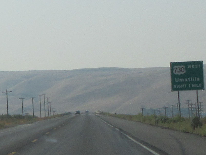
US 12 approaches US 730. At the time of this writing, US 730 is the shortest U.S. route, at 42 miles. It is also the highest numbered, though a US 830 existed in Washington state until 1968.

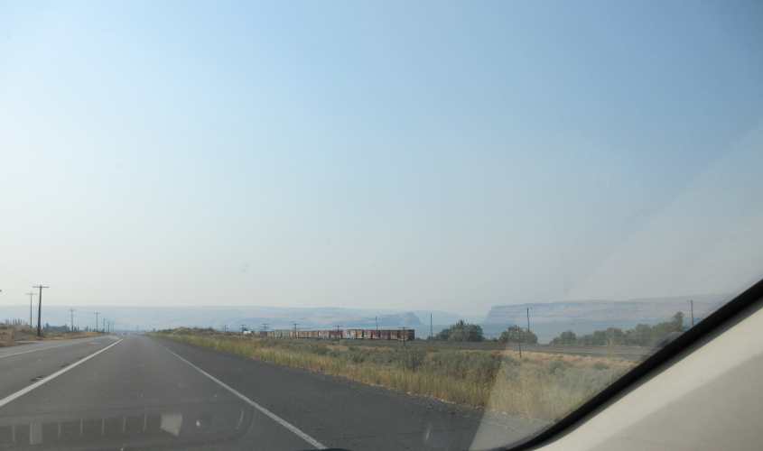
This has to be the Columbia River.
US 12, still approaching US 730.
US 12 crosses the Walla Walla River.