COLUMBUS roadmeet
Apr. 14-16 2023
PART 6

Probably southeast on Riverview Park Drive.

This has to be the bridge on Rustic Bridge Road. We're looking out over the creek from a spot where it emerges from a wall.
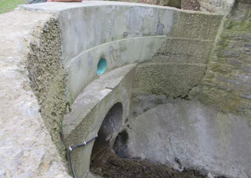
This is where the creek comes out of a tunnel in the wall.

This sign is destruct-a-roony!

Another view of the creek under Rustic Bridge Road.

"It's a mistake...It's a mistake...It's a miiiiistake...It's a mistake..." This is US 23 nearing OH 161 in Worthington. The error here is that Ohio is supposed to use a state outline - not an oval - as its state route shield. Then again, another website goes into hairy detail about how the Ohio shape we see on state route signs isn't really an accurate representation of the state's shape.

US 23 blasts past an ancient Dairy Queen.

I have no recollection of this, as this was when I was so weak that I guzzled a 52-ounce orange juice. As best as I can tell, I think this is a set of ramps from OH 315 to I-270 going over the Olentangy River.

This is something else, I tell ya! Here we're north on US 23 past Worthington. This is an elaborate setup in which US 23 has express lanes forming a tunnel straight ahead, while local traffic ramps up on the right. This dates to the mid-2010s.

US 23 enters the trench for the tunnel.

South on US 23. The northbound trench is in the median.

Ramp from US 23 south to I-270 west. I-270 is in the background.

South on I-71.

I-71 goes under this little tunnel under a rail line south of 11th Avenue.

Ramp from I-71 to I-670 west. The two main sides of I-670 are actually many blocks apart here. What looks like the left side of the freeway here is actually a long ramp from US 23. I-670 was established in 1975 but not completed until 2003.

I-670 goes under that block of High Street that has buildings over the freeway.

The roadmeet is over! Let's go home! But wait! There's a whole Sunday to goof off! This is north on High. The tall building is the James A. Rhodes State Office Tower - named for the ultraconservative governor who was largely responsible for the Kent State massacre. In 1977, someone threw a pie at Rhodes at the Ohio State Fair. Pie filling that landed on the ground was eaten by a puppy. The building on the right with the columns is the Ohio Statehouse - the state capitol. It seems like I visited the lobby of the capitol decades earlier, but maybe it was a different public building like this. I have an image in my mind of a group of bikers - men and women - chewing bubble gum in the lobby, but that wasn't something I actually saw.

West on State.

South on Front. Note the gavel sculpture. I remember kids serving as presidents of school clubs, how they were the school's puppet dictators, and how they would bring in a gavel from home to conduct meetings.

East on Town from Front.

West on Town toward the Scioto River.

The Rich Street Bridge and the Main Street Bridge crossing the Scioto River.

A final view of the Discovery Bridge.

West on Rich. At left is the bus terminal where someone kept ripping LAP bunker blasts. An OH 315 marker is visible, though this is not OH 315. Despite the darkening sky, rain was a rarity on this trip. The tall building on the left is a luxury apartment complex - which is mostly what downtown Columbus is now.