COLUMBUS roadmeet
Apr. 14-16 2023
PART 4

North on Jefferson at Long.

East on Boone at Jefferson. Boone straight ahead is a brick alley.

West on Boone.

South on Jefferson from Boone.

East on Long at Jefferson.
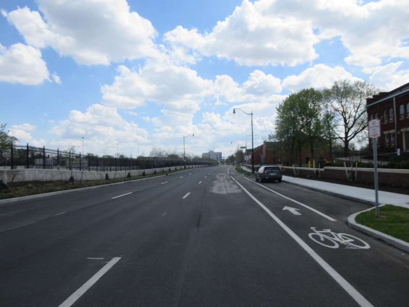
South on Lester. This had been rebuilt from the small, potholed path that Street View showed in 2019. I-71 is on the left.

Long Street goes over I-71, and the wall along the bridge has this descriptive plaque.

This mural fills the wall. The bridge was originally designed to have buildings on each side, like High Street over I-670.

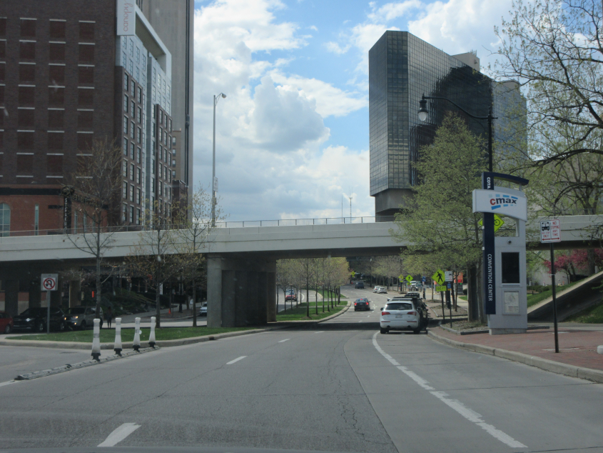
This ramp from Spring Street & Elijah Pierce Avenue runs to I-70 and 670.

I think the curved ramp looming above at left services I-670. This is from Columbus State Community College - near Grove & Jefferson. (Hopefully, Columbus State isn't like the school at the other Grove & Jefferson. I'll let you guess whether it is.)

West on Spring, focusing on the red footbridge for Columbus State.

West on Spring at Neilston.

North on 4th Street (US 23 north). There's a little treat at left.

A close-up of our little treat. It's button copy!
West on Nationwide Boulevard. We go under 3rd Street (US 23 south).

North on High at Vine. This was once US 23.

North on High at Goodale. The block ahead is a "cap" that goes over I-670 but has buildings along it.

East on Goodale.

High continues at Bollinger.

High at 11th Avenue. This is near the corner of Ohio State University's campus. Despite all the decline of our education system then, even the disastrous winter of 2020-21 might not have been a total loss at OSU, as Snap Map showed groups of students ruining the school's bins, dumpsters, and benches by sledding down the hill with them as they smiled widely.

East on 11th Avenue.

Off in the distance on 11th Avenue, we see the road goes under 2 rail bridges, with the second one being higher.

East on 17th Avenue from 4th Street.

Southwest on Iuka. This is a secluded little brick road with one lane on each side and a park in the wide median.