COLUMBUS roadmeet
Apr. 14-16 2023
PART 2

What stupid idiot designed this??? This is Wilson Road on the west side of Columbus. I thought the situation in Hammond, Ind., at the 2022 meet was bad - with a highway with drainage ponds but no sidewalks - but this was worse. I booked a motel here but couldn't even get to the gas station across the street to buy food for a meal, because the inn was in sort of a fenced-in compound and there were no crosswalks on this busy road within a half-mile. I was looking forward to a big dinner from this store, and didn't get one, because I was too tired to walk a mile just to cross the street.

I guess it's a brand new day after all, and this is northeast on El Paso Drive. This road used to continue straight ahead before I-70 was built.

Looking the other way on Wilson.

North on Brehl at State. This is from Cody Park.

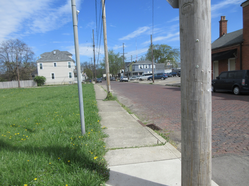
This looks like an old school building on Brehl.

East on State. This lines up with State Street downtown, but does not connect with it.

State at West Park.

East on Broad under another rail bridge.
North on Yale under yet another rail bridge.

North on Glenwood.

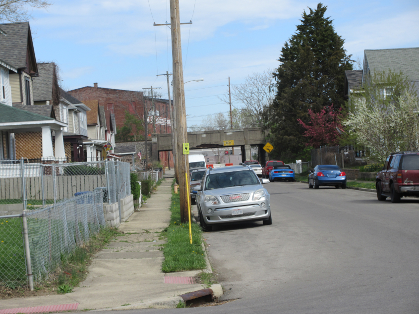
North on Rodgers. I caught the other side of the tunnel under the rail line the previous day.
North on Jones.

From Jones, this is west on Gay Street, which is really more of an alley (a people's road) here. It does not connect with Gay Street downtown.

Another view looking north on Jones.

South on Jones.

It wasn't until now that the actual roadmeet got under way! This is east on Broad - US 40 - approaching Hartford.

South on Martin. Up ahead, Martin gains a landscaped median, but both sides of the road are one-way in the same direction. The boulder in the median ahead apparently marks where William Henry Harrison met with local Native Americans.

West on Town - US 62/OH 3.

East on Town. The bridge is for OH 315.

East on Rich, which has US 62/OH 3 east. Google Street View showed this construction gauntlet as far back as 5 months earlier. The bridge is for rail.

Dodge Park gives us a good view of downtown Columbus and the Scioto River. You can see the Main Street Bridge, but in front of that is the Lower Scioto Rail Bridge.

I-70/71 crosses the Scioto River.

Northeast on Sullivant Avenue. Note the slingshot sculpture on the right. This is a new stretch of road built in the 2010s for the development here. This is gentrification through and through, as public housing was torn down to build luxury apartments. Promotional websites call it an "exciting new mixed-use development." Notice how gentrification projects are always "exciting." It's sort of like how vomiting and dying are "exciting." Future plans call for a private walkway.

Back on Rich, going under the rail bridges seen several photos back.